
The Ice Age
The first great influence on the lakes as we know them today was the last Ice Age that dug the footprints of the lakes from north to south and brought about many physical changes.
The glacier ploughed and transported away the surface soil and soil producing rock to a depth of several metres. Because of the massive weight of ice that was thousands of metres deep, the land under it was depressed perhaps as much as 30 metres.
During the centuries following, the depressed land rebounded upwards, but unevenly, to form the steep ridges between and around the lakes. Thus the land that had been somewhat flat under the ice ended up as valleys with lakes surrounded by rugged hills.
The First Peoples
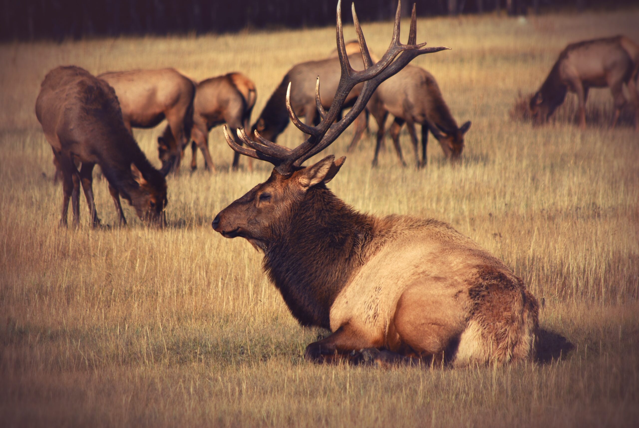
As the glacial ice receded from the lakes region, nomadic peoples arrived in small family groups from the south to hunt. They came to hunt several species of large animals such as the mastodon and caribou, which traveled near the receding glacier and the Champlain Sea.
We know from one artifact that hunters were on the north end of Bobs Lake. When the ice front moved further northward, the tundra and its animals moved further northward with it, followed by the people.
European Settlement
With the completion of the Rideau Canal in 1832, some Scots and Irish canal workmen migrated from Westport to settle south of Bobs Lake as farmers and loggers. Over the next three decades they were joined by immigrants from the direction of Kingston, Westport and Perth until every Bedford Township lot had at least one owner who farmed or logged or both.
These industries led to the formation of some small communities around the lakes. Milling at Tom’s Rapids, later called Bolingbroke began in 1848 with farming around Burridge in the 1830s and farming and milling at Fish Creek by the 1840s.
Milling at Crow Lake Mills began about 1840 and farming and logging led to a settlement at Crow Lake village in 1862.
The Flooding of Bobs Lake
In 1870, the construction of a dam at Bolingbroke raised water levels by 15 to18 feet. The new water level made one lake out of four, in addition to several adjoining bodies of water.
All the lowlands and back bays were flooded, including Long Bay, Green Bay, Buck Bay, Mill Bay and Mud Bay. This created the much larger and more significant body of water we now know as Bobs Lake.
The flooding 135 years ago made Bobs Lake look almost entirely different from its pre-1870s river valley status. The flooding of Bobs Lake did not affect Crow Lake because of its’ much higher elevation at the time.
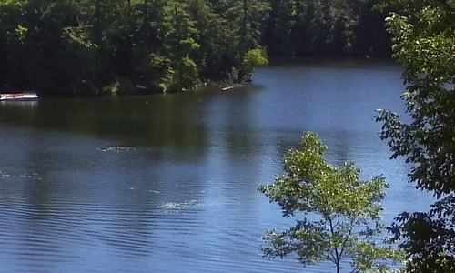
GREEN BAY, BOBS LAKE
Early Tourism & Subsequent Changes
The first known tourists attracted to the lakes came not long after Bobs Lake was flooded. In 1872, the K&P railroad was completed along the western shore of Bobs Lake to Tichborne, providing travelers with easier access to the lakes.
Well into the 1920s the roads to the lakes, which were intended for horse-drawn vehicles, made travel by auto difficult or not possible in some places. However, when word got out that there was good fishing to be had, the numbers of fishers from Ontario and the USA increased.
Some brought tents to stay in for a few weeks, and others bought land in remote places along the shores where they could build humble “camps”; either a cedar log cabin with a fieldstone fireplace or alternatively, a framed cabin with a wood-stove. Some of these original cabins still remain around the lakes.

General Characteristics
Bobs and Crow Lakes are part of the Tay River system and the Rideau River watershed and an integral part of the Rideau Canal waterway.
The Bobs and Crow Lakes watershed comprises about 5% of the total Rideau watershed. Much of what we now know as Bobs Lake did not exist prior to the construction of the dam at Bolingbroke at the outlet to the Tay River and the flooding of the low-lying lands in 1870-1871.
Bobs Lake and Crow Lake are an off line reservoir supporting the water supply for navigation of the canal system.
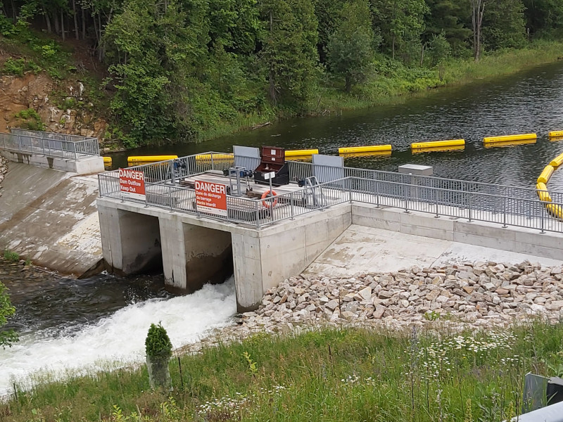
BOLINGBROKE DAM
The Landscape
Bobs and Crow Lakes sit atop a finger of Canadian Shield called the Frontenac Axis that extends south from Algonquin Park.
The watershed is located within the eastern Great Lakes lowland forests of the Great Lakes – St. Lawrence Forest Region, which is a transitional area containing both boreal and broadleaf forests.
The area contains a mixture of landscapes and plant and animal species because of the confluence of the southern deciduous forest and the northern coniferous boreal forest of Ontario.
The Great Lakes—St. Lawrence Forest Region is dominated by mixed hemlock, white pine and maple stands, but varies with local conditions creating patches of diverse vegetation communities across the landscape.
